Hydrogeology
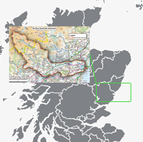
 Angus straddles the Highland Boundary Fault, a geologic fault that travels through Scotland from Stonehaven on the East coast to Arran on the West coast. It separates two distinctly different regions – the Highlands from the Lowlands, but in most places it is only recognisable as a change in the appearance of the land.Within Angus, east of the faultline, lie the broad, flat fertile straths (mountain valleys) of Strathmore, corresponding with soft areas of sandstone mainly from the lower Devonian age and some conglomerates (course grained rock), which have been eroded by glaciers.
The fertile soils which now cover these areas are the result of deposits from these glaciers and the material carried down by rivers from the glens. These sandstone and conglomerate areas also form good aquifers (rock which allows groundwater to pass through it). They are highly permeable and it is possible to drill for the water through the boreholes. To the north-west of the fault line lie the harder rocks of the Dalradian age which are generally in the upland areas which support less fertile soil, and are often covered by heather moorland.
Geographic Location